Navigating Boston: A Comprehensive Guide to Local Transport Solutions


Getting Around Boston: Public Transportation
Boston is known for its historical charm and bustling city life, but navigating its streets can be daunting for newcomers. Fortunately, the city's public transportation system, the Massachusetts Bay Transportation Authority (MBTA), offers a reliable solution. The MBTA, affectionately called "The T," consists of subway, bus, trolley, and commuter rail lines that connect various neighborhoods and suburbs.
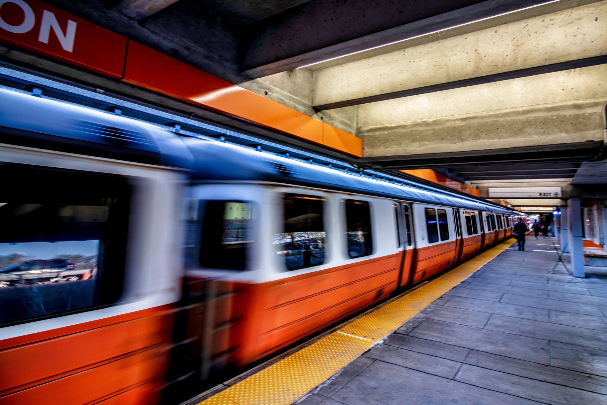
The subway system is the backbone of public transport in Boston. It comprises four main lines: Red, Blue, Green, and Orange. Each line traverses key areas of the city, making it easy to reach popular destinations like Harvard Square, Fenway Park, and Downtown Boston.
Convenient Alternatives: Biking and Walking
For those who prefer a more active mode of transport, biking and walking are excellent options. Boston has made significant strides in becoming more bike-friendly, with numerous bike lanes and paths available throughout the city. The Bluebikes program offers an affordable bike-sharing service with stations located strategically across major points of interest.
Walking is another great way to experience Boston's unique charm. Many neighborhoods, such as the North End and Beacon Hill, are best explored on foot. With its compact layout and pedestrian-friendly streets, Boston encourages residents and visitors alike to embrace a leisurely stroll.

Ride-Sharing and Taxis
For those who prefer door-to-door service, ride-sharing apps like Uber and Lyft are widely available in Boston. These platforms offer a convenient alternative to traditional taxis, providing a range of vehicle options to suit different needs and budgets. Traditional taxi services also operate throughout the city, with stands located at major transit hubs and popular attractions.
It’s worth noting that ride-sharing and taxi rates can vary based on traffic conditions and time of day. Be sure to check fares beforehand to avoid surprises.

Exploring Beyond Boston: Commuter Rail and Ferries
If you're looking to explore beyond the city limits, the MBTA's commuter rail network connects Boston with surrounding suburbs and cities. With multiple lines departing from North Station and South Station, you can easily plan day trips to destinations like Salem, Worcester, or even Providence.
Additionally, ferries provide a scenic way to travel between Boston and nearby coastal towns. The Boston Harbor Cruises offer routes to places such as Hingham and Hull. Taking a ferry not only provides an alternative to road travel but also offers stunning views of the Boston skyline.
Tips for Navigating Boston’s Transport System
To make the most of your time in Boston, consider investing in a CharlieCard or CharlieTicket for seamless travel on the MBTA network. These cards provide discounted fares compared to cash payments and are reloadable at various stations.
Always check schedules ahead of time, as service frequencies can vary based on the day of the week or time of year. During peak hours, trains and buses may be crowded, so plan your journeys accordingly.

By understanding these transport options and planning your routes ahead, navigating Boston can be both efficient and enjoyable. Whether you're commuting for work or exploring the city's rich history, there's a transport solution that fits your needs.